Home » ᐛᓇᑲᑐᐛᐃᑕᑲᓄᒋ ᐊᔅᒋᔭ » Rivière-Innuksuac
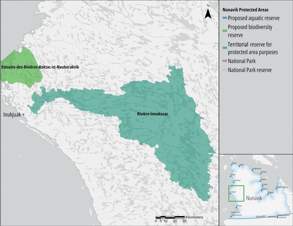
Rivière-Innuksuac
TERRITORIAL RESERVE FOR PROTECTED AREA PURPOSES
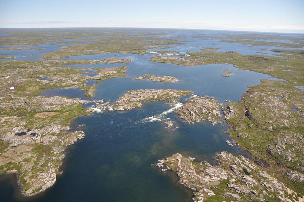
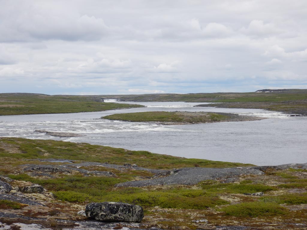
The Riviere-Innuksuac territorial reserve for protected area purposes (Réserve de territoire aux fins d’aire protégée de la Rivière-Innuksuac) protects the Innuksuac River watershed and the community of Inukjuak’s drinking water source, as well as the aquatic wildlife found there. It also protects an area of large lakes and ancient subglacial drainage channels with eskers, ending in deltas to the west. This territory is also within the range of the Leaf River migratory caribou herd.
 © MELCC")
ᐊᑎᓇᑕᐃᑲᓄᒡ ᐃᔨᒧᐅᓐ
Land Category – JBNQA and NEQA
Categories II and III
Main conservation objectives
To protect the Innuksuac River watershed and the community of Inukjuak’s drinking water source, as well as the aquatic wildlife found there. Also aims to protect an essential subsistence area for Nunavik Inuit.
Geological province
Minto Sub-province (Superior Province)
Natural regions
Puvirnituq Lowlands, Lac Couture Plateau, Lac Bacqueville Plateau
Bioclimatic domain
Shrub tundra, Low Arctic Ecozone, presence of one rare plant (Carex lapponica)
Wildlife
Salmonids, Leaf River migratory caribou herd, Golden eagle
Hydrology
Covers 89% of the Innuksuac River watershed
Archaeological sites
No sites listed in the inventory of archeological sites of Quebec (Inventaire des sites archéologiques du Québec (ISAQ)).
 © Mélanie Veilleux-Nolin, MELCC")
Fact sheet — MELCC
- https://www.environnement.gouv.qc.ca/biodiversite/reserves-territoires/nunavik/riviere-innuksuac-en.htm