Home » ᐛᓇᑲᑐᐛᐃᑕᑲᓄᒋ ᐊᔅᒋᔭ » Rivière-Arnaud
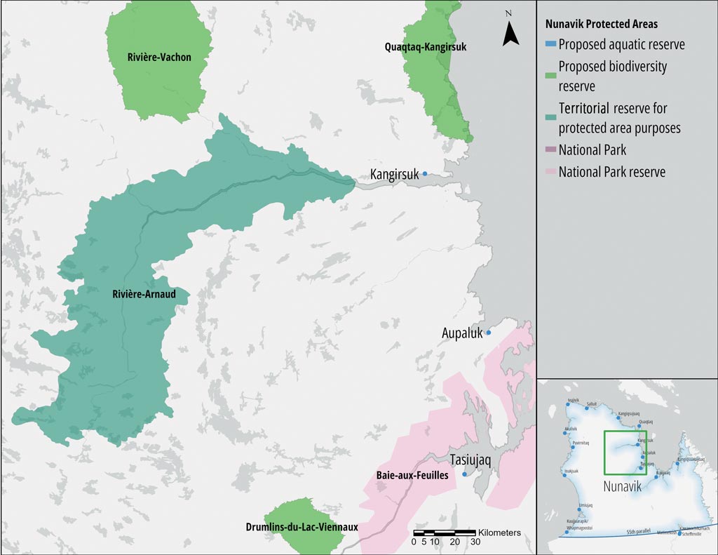
Rivière-Arnaud
TERRITORIAL RESERVE FOR PROTECTED AREA PURPOSES
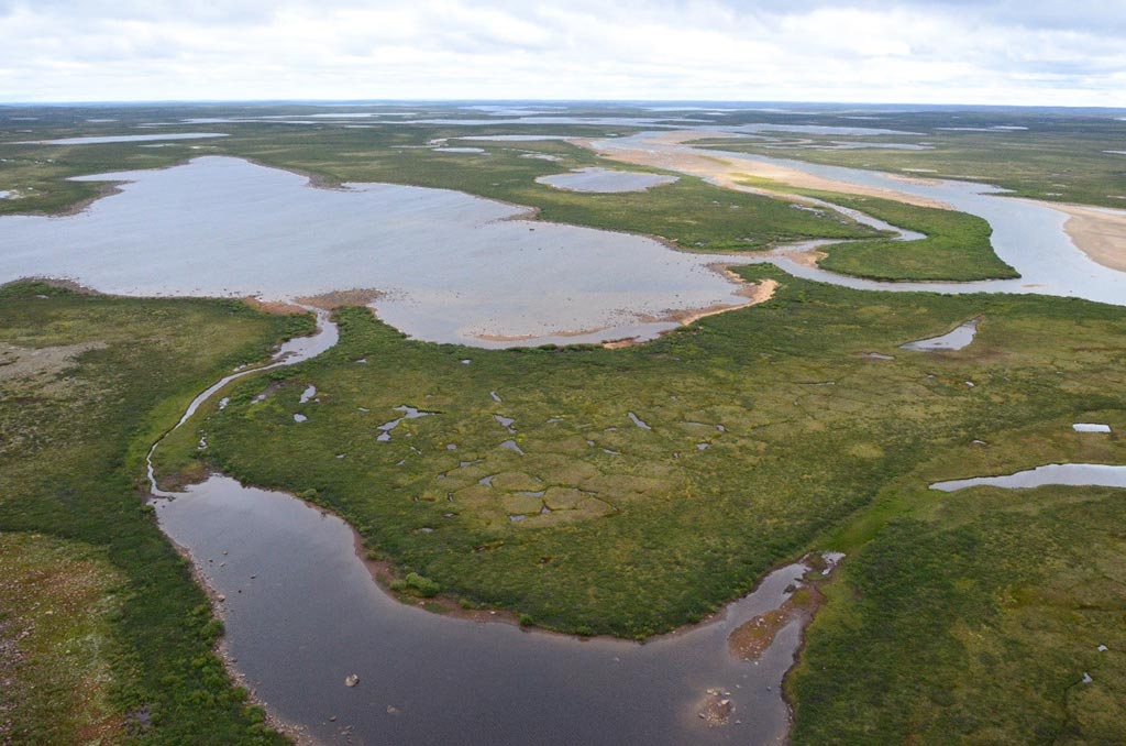
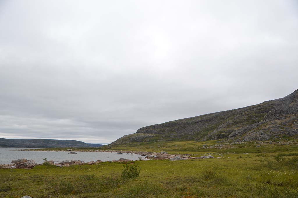
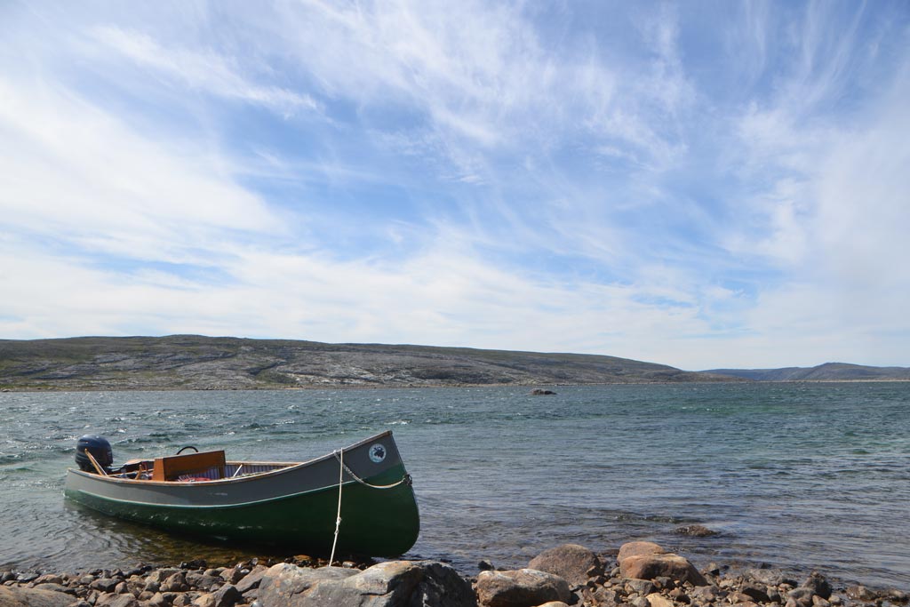
The Rivière-Arnaud territorial reserve for protected area purposes (Réserve de territoire aux fins d’aire protégée de la Rivière-Arnaud) protects the main stem of the Arnaud (Payne) River and its watershed. It is an essential area for the practice of traditional activities for the communities of Kangirsuk and Quaqtaq. This territory marks the northernmost distribution limit of alders, black spruce, and other boreal species, which reflects an abundant biodiversity for such a high latitude. The territorial reserve also protects a portion of the calving grounds of the Leaf River migratory caribou herd, as well as Arctic char populations.
 © Marianne Ricard, KRG/ARK")
ᐊᑎᓇᑕᐃᑲᓄᒡ ᐃᔨᒧᐅᓐ
Land Category – JBNQA and NEQA
Categories II and III
Main conservation objectives
To protect territories identified as essential and important subsistence areas for Inuit of Nunavik, particularly for the communities of Kangirsuk and Quaqtaq, as well as a territory rich in biodiversity for this latitude.
Geological province
Minto Sub-province (Superior Province)
Natural regions
Vachon Plateau, Lac Lesdiguières Plateau, Lac Faribault Plateau, Lac Bacqueville Plateau
Bioclimatic domain
Shrub tundra (boundary between the High Arctic and Low Arctic Ecozones)
Wildlife
High density of Arctic char, Leaf River migratory caribou herd, Harlequin duck, Peregrine falcon
Hydrology
Reserve includes 82.6% of the main stem of the Arnaud (Payne) River, which represents 17% of its watershed
Archaeological sites
3 sites listed in the inventory of archeological sites of Quebec (Inventaire des sites archéologiques du Québec (ISAQ)).
 © Marianne Ricard, KRG/ARK")