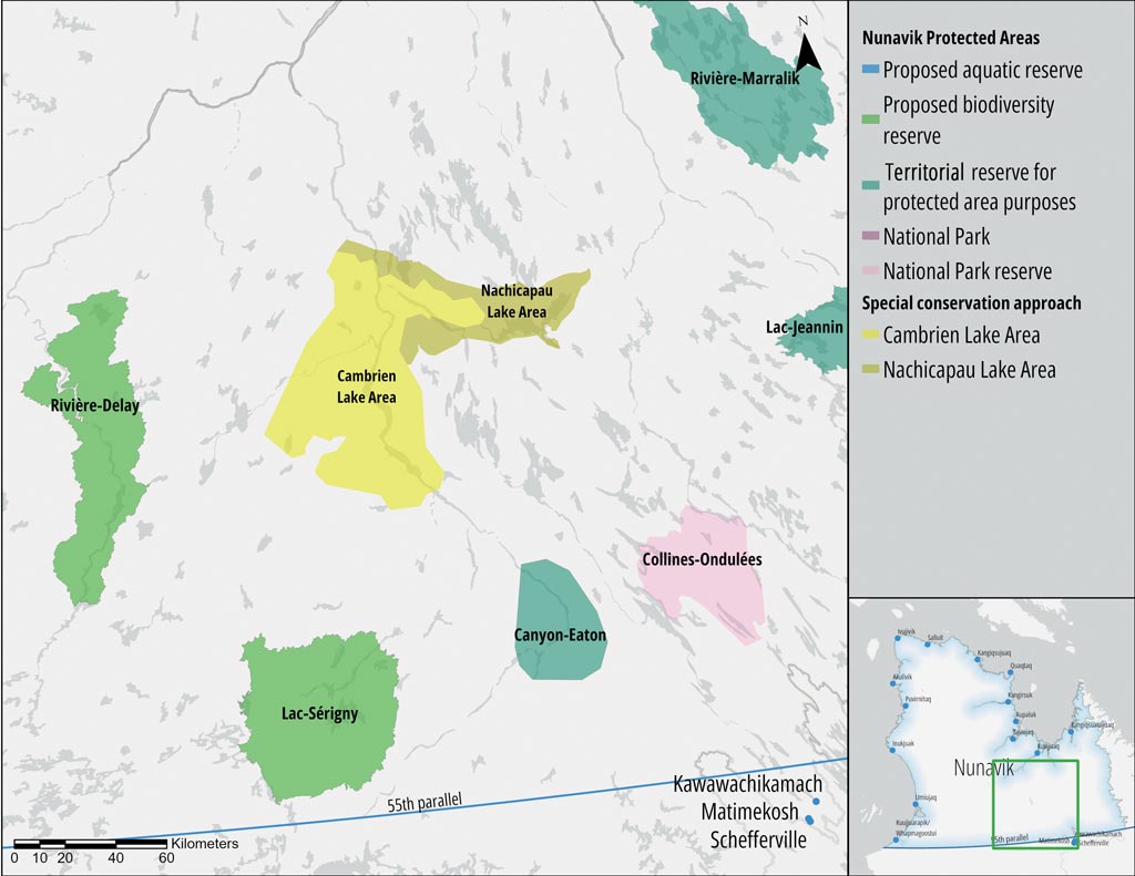
Home » ᐋ ᐧᐃᓈᑭᑎᐧᐋᔨᐦᑖᑭᓂᐧᐃᒡ ᐊᔅᒌ » Lacs Cambrien et Nachicapau
Lacs Cambrien et Nachicapau
SPECIFIC AGREEMENT
1 496 km² (lac Nachicapau)
Although the Lac Cambrien, Lac Nachicapau, and Fort Mackenzie (Waskaikinis) area is not legally part of the Register of protected areas in Quebec [available only in French as Registre des aires protégées au Québec], it is covered by a specific agreement for its conservation.
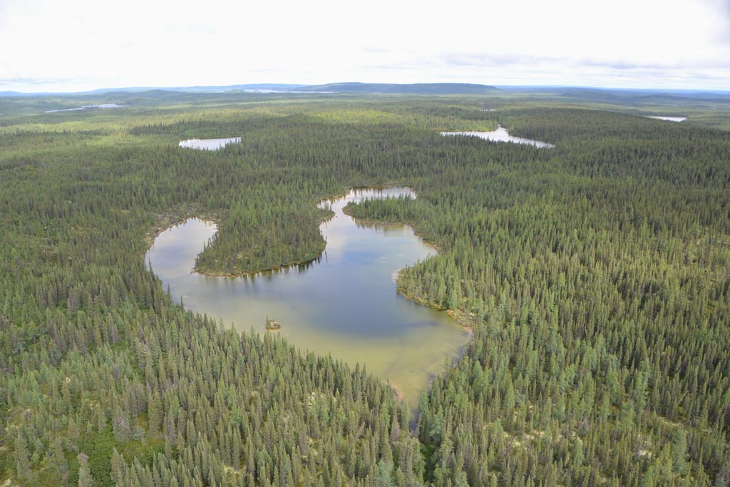
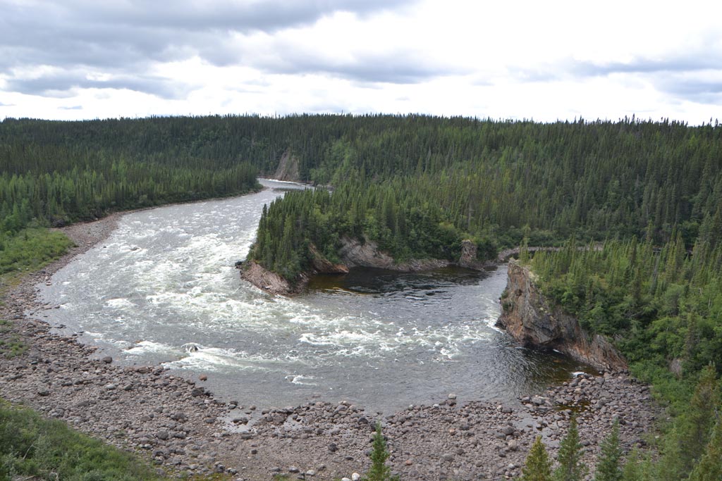
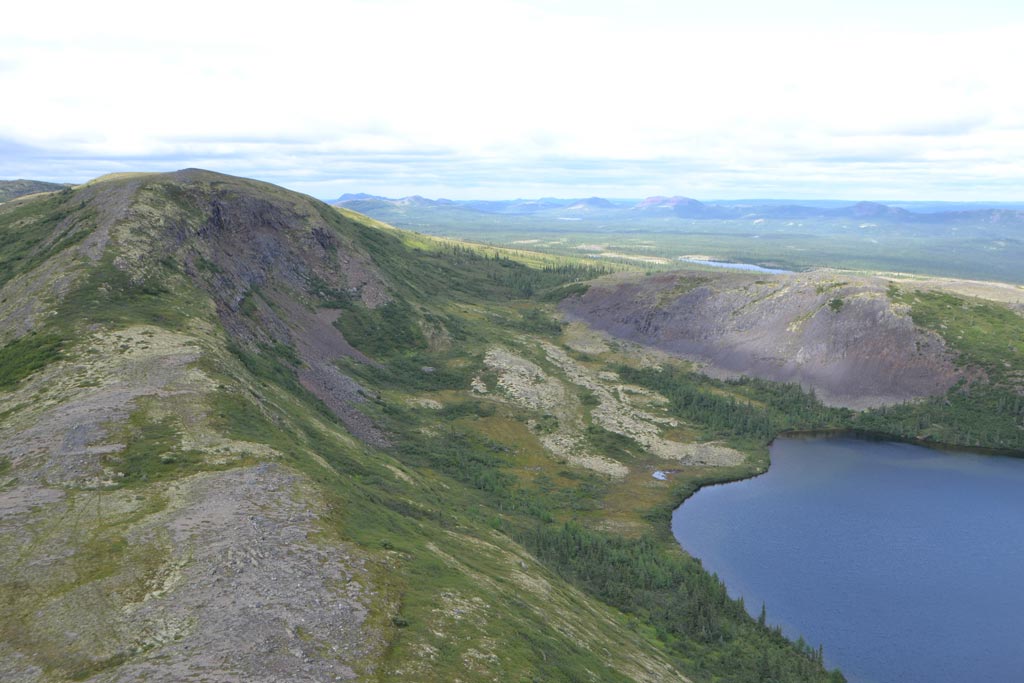
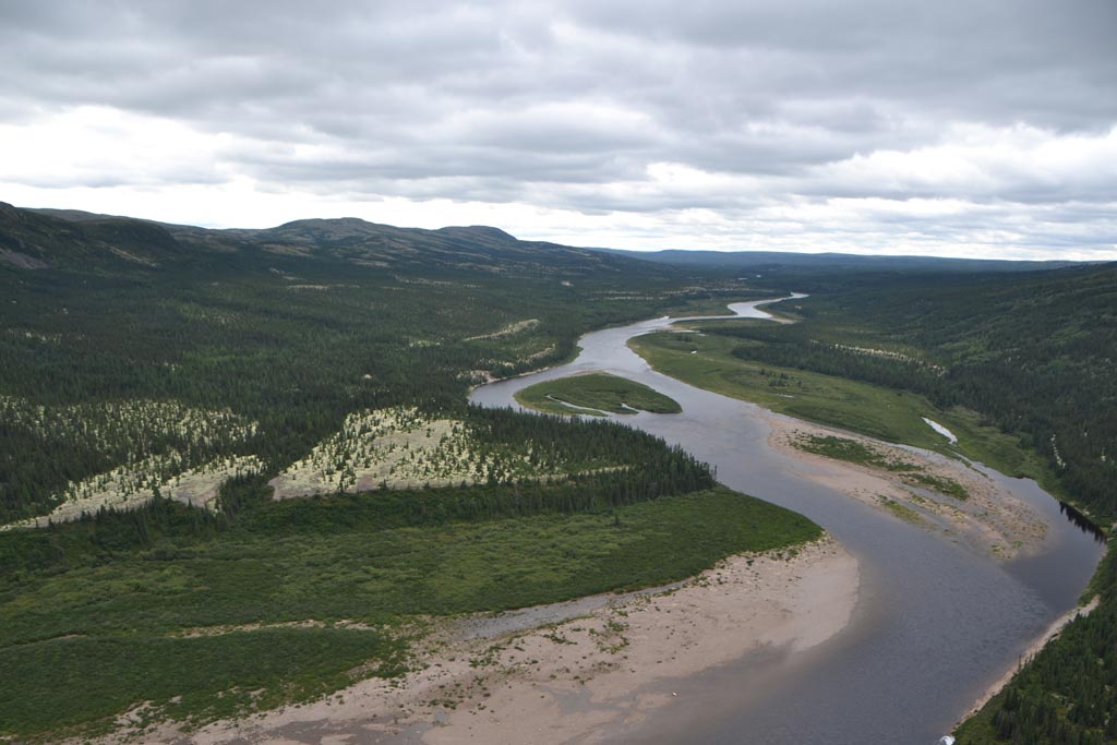
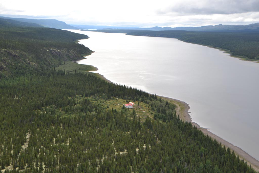
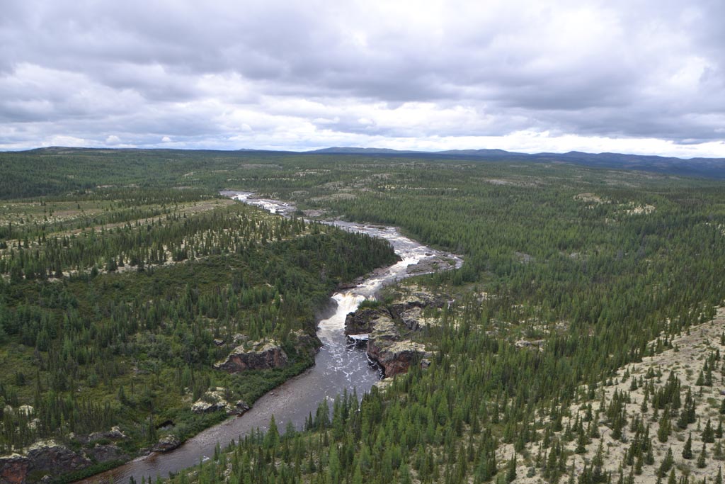
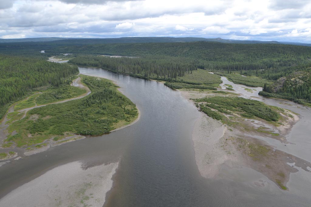
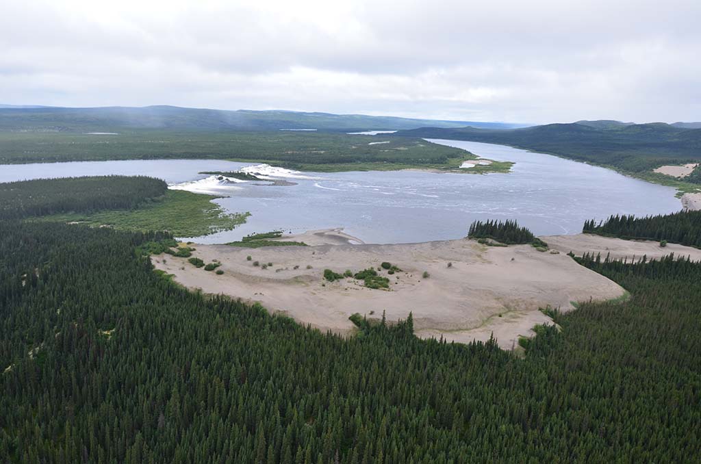
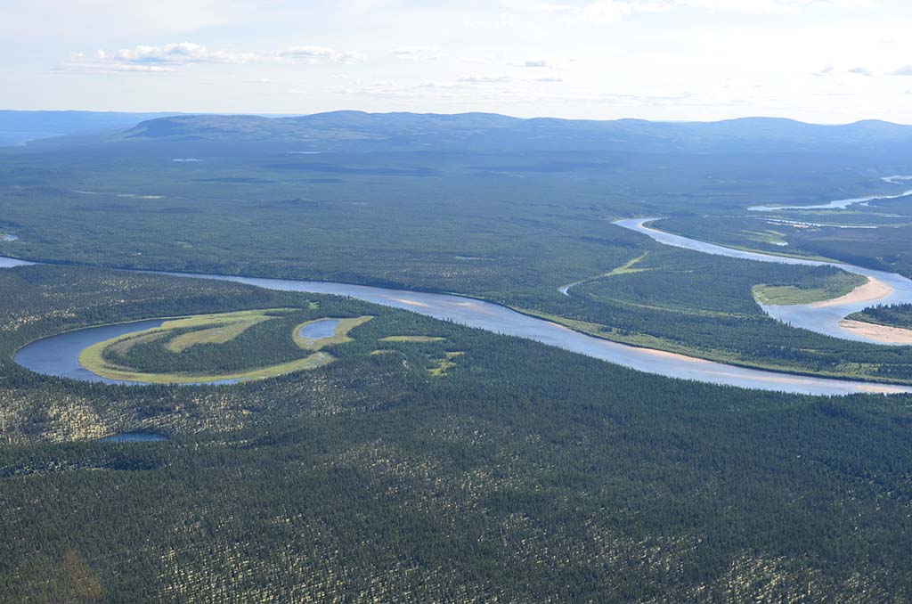
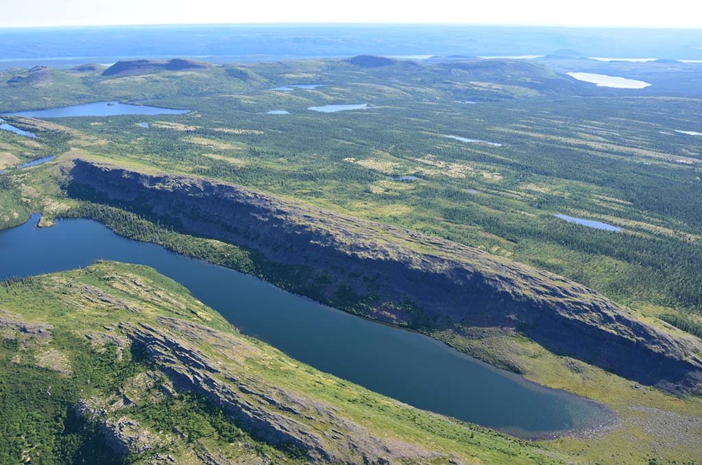
The area is an essential subsistence area for the Naskapi Nation and Nunavik Inuit. It is a territory with many exceptional landscapes, composed of high hills rich in plant diversity. It is also an area with hydroelectric and mining potential.
 © Marianne Ricard, KRG/ARK")


- all mining activity in the Lac Cambrien subsector is prohibited;
- the Government of Quebec is prepared to discuss, with the Naskapi Nation of Kawawachikamach, the Kativik Regional Government and the Makivik Corporation conditions governing mining activity that could be established in the Lac Nachicapau subsector. Following the conclusion of an agreement to this effect, this subsector would be assigned as a State reserve by the MERN;
- Hydro-Québec undertakes to not carry out a hydroelectric power development project in the area for twenty years. However, there is an exception to the agreement for exceptional energy needs related to mining, industrial, or regional projects in the area or in the vicinity that would make the hydroelectric power development necessary, and if the projects would enhance the social and economic conditions of the Naskapis and Inuit with the least possible impact on the environment and biodiversity;
- the parties to the agreement undertake to implement and participate, in good faith in the search for a consensus, in the work of a all-party committee to identify possible alternatives to hydroelectric development in the area;
- upon its expiry or renewal, if the Quebec Government, after consultation with Hydro-Québec, determines that the hydroelectric potential of the area is no longer required, it will initiate steps to ensure the sustainability of the biodiversity protection and the cultural values associated with the Lac Cambrien subsector.
ᒋᐦᒋᓂᐧᐋᒋᐦᒋᑭᓐ
Land Category – JBNQA and NEQA
Category III
Main conservation objectives
Area of significant and particular interest for conservation, notably because of its plant diversity, associated cultural and traditional values, and interesting tourist potential.
Geological province
Labrador Trough (Churchill Province)
Natural regions
Schefferville Hills, Lac Jeannin Depression, Rivière à la Baleine Lowlands, Lac aux Feuilles Hills, Lac Sérigny Plateau, Lac Châteauguay Plateau
Bioclimatic domains
Spruce-lichen forest and forest tundra domain
Wildlife
Golden eagle, Peregrine falcon, Harlequin duck (eastern population)
Hydrology
Caniapiscau River
Archeological sites
- 20 sites listed in the inventory of archeological sites of Quebec (Inventaire des sites archéologiques du Québec (ISAQ)).
- Sites of special significance to the Naskapis and Nunavik Inuit, particularly Waskaikinis (Fort MacKenzie), a former Hudson’s Bay Company trading post, Naskapi gathering place (1916–1948), and Nunavik Inuit commercial transhumance site.
 © Marianne Ricard, KRG/ARK")
No MELCC fact sheet/No conservation plan available