Find the answers here to the most frequently asked questions about protected areas, in general and in Nunavik. Still have unanswered questions?
Do not hesitate to contact us.
Find the answers here to the most frequently asked questions about protected areas, in general and in Nunavik. Still have unanswered questions?
Do not hesitate to contact us.
”We must find a balance between protection and development if we want to give our children real choices for the future.
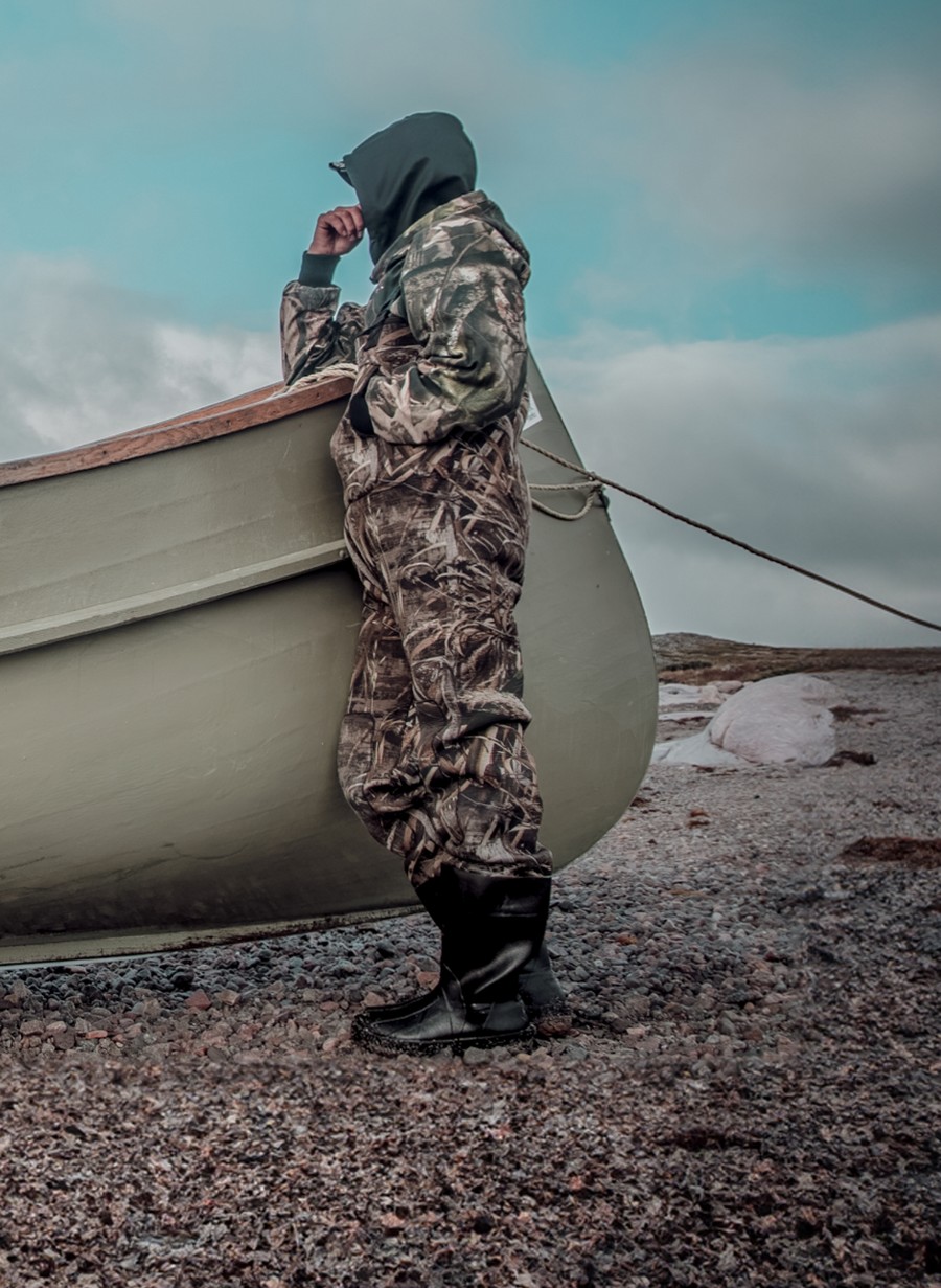
Parc National Tursujuq in Summer © Annie-Claude Roberge, KRG
The official place name will be determined at the time permanent protection status is granted to the territory. It is understood that the representative bodies of Nunavik as well as the communities and Nations concerned with these territories will provide proposals for official geographic names to the Commission de toponymie du Québec.
This is the same approach that was successfully used in the creation of the national parks in Nunavik.
Category I and IB-N – Indigenous title to lands managed and administered for the benefit of members by each Inuit community landholding corporation and by the Naskapi landholding corporation, respectively; have rights, as defined in the Agreements, including exclusive harvesting rights (and a right to establish and operate outfitting operations)
Category I and II-N – Lands in the public domain of the State over which Inuit, the Cree, and the Naskapi have rights, within the meaning of the Agreements, including exclusive harvesting rights (and a right to establish and operate outfitting operations)
Category III – Lands in the public domain of the State over which Inuit, the Crees, and the Naskapis have rights, within the meaning of the Agreements, including non-exclusive harvesting rights. In addition, trapping is exclusive to beneficiaries under agreement.
Under the Natural Heritage Conservation Act (NHCA), certain activities for non-JBNQA and non-NEQA beneficiaries are permitted, restricted, or prohibited in a biodiversity reserve (or proposed biodiversity reserve) or aquatic reserve (or proposed aquatic reserve). Activities taking place in TRPAPs are subject to approval by the MELCCFP. This could be based on the fact that the final status envisaged is that of a biodiversity reserve.
Main Activities Generally* Permitted or Prohibited for Non-Beneficiaries in Biodiversity and Aquatic Reserves
| Activity | Permitted/prohibited |
|---|---|
| Sport hunting | Permitted |
| Sport fishing | Permitted |
| Trapping | Prohibited |
| Access and travel by ATV or snowmobile | Permitted, although opening new trails for this purpose is prohibited |
| Access and travel by motorboat | Permitted |
| Vacationing in existing facilities (leases, camps, or cottages) | Permitted |
| Granting of new land rights for personal use (for vacationing, temporary shelters, etc.) | Permitted |
| Gathering of non-wood forest products (berries, mushrooms, etc.) | Permitted |
| Firewood harvesting | Prohibited |
| Logging | Prohibited |
| Research and education | Permitted |
| Mining, gas, and oil activities | Prohibited |
| Construction of hydroelectric dams and commercial power generation (including transmission line construction) | Prohibited |
| Activities of ZECs, outfitters, and wildlife reserves | Permitted |
| Seeding | Permitted with authorization |
| Agriculture | Prohibited |
| Construction of new infrastructure (buildings, roads, trails, etc.) | Permitted with authorization |
| Hiking and recreation (walking, biking, snowshoeing, cross-country skiing, etc.) | Permitted |
*Under no circumstances should the elements of this list replace the legal texts (NHCA and conservation plans of each reserve).
No. In the case of a TRPAP, PBR or PAR, the temporary protection status provides for a temporary suspension of the granting of mining titles and of all mining exploration. In a biodiversity reserve, any exploration or mining activity is strictly prohibited (unless authorized by the Ministère).
Yes, the harvesting of firewood for temporary shelters or trapping camps is permitted as part of the harvesting rights of beneficiaries under the Agreement. However, the harvesting of firewood by non-beneficiaries is not permitted unless authorized by the MELCCFP. Furthermore, commercial logging is not permitted.
In Quebec, national parks and biodiversity reserves are protected areas included in IUCN category II, one of the highest levels of protection.
It is a territory with a temporary protection status, which includes a suspension of the granting of mining titles and of all authorizations related to mining exploration. A moratorium on all energy and forestry development is also in effect for these territories. In Nunavik, it is envisaged that all TRPAPs will eventually obtain permanent status as biodiversity reserves.
This is a provisional status (of several years) leading eventually to a permanent status of protection as a biodiversity reserve. The main activities that are prohibited on lands with proposed biodiversity reserve status are:
A biodiversity reserve is a Category II protected area (IUCN) that ensures the protection of natural environments and the biodiversity (fauna and flora) they contain. This status contributes to the representativeness of Quebec’s network of protected areas and aims to protect a characteristic sample of the various natural environments of Quebec.
With the amendment of the Natural Heritage Conservation Act (NHCA) in 2021, aquatic reserve status will no longer exist for new conservation areas and will be integrated with biodiversity reserve status.
The Quebec Ecological Reference Framework is a cartographic tool for the “ecological classification of the territory.” Level I (natural province) is defined mainly by geology (the land) and hydrography (lakes and rivers). There are 13 natural provinces in Quebec, 5 of which are in Nunavik. Level II (natural regions) is also defined according to geology. There are 80 level II regions in Quebec, 27 of which are mostly in Nunavik.
For more information, click here.
Yes, an impact assessment will be required to finalize the permanent designation of protected areas in Nunavik, as prescribed by the James Bay and Northern Quebec Agreement (JBNQA).
The Parc national Ulittaniujalik is managed by the KRG through Nunavik Parks. The Rivière-George territorial reserve for protected area purposes (Réserve de territoire aux fins d’aires protégées de la Rivière-George) and the Rivière-George-Nord territorial reserve for protected area purposes (Réserve de territoire aux fins d’aires protégées de la Rivière-George-Nord) will complete the Nunavik protected area network and link with conservation tools around the national park. These TRPAPs will eventually obtain permanent biodiversity reserve status, a protected area status distinct from national park status.
Establishing the boundaries of the Rivière-Kovik proposed aquatic reserve (Réserve aquatique projetée de la Rivière-Kovik) proved to be a significant challenge due to the definition of Quebec’s coastal and offshore boundaries, which were interpreted differently by different organizations and applicable land claim agreements. A compromise between the Government of Quebec and the Makivik Corporation regarding the boundary of the Rivière-Kovik proposed aquatic reserve (Réserve aquatique projetée de la Rivière-Kovik) was finally reached. The boundary was set further inland, with a buffer radius of 50 metres from the coast.
Negotiations between the Naskapi Nation of Kawawachikamach, the KRG, the Makivik Corporation, Hydro-Québec, and the Government of Quebec led to the signing of a specific agreement in 2018 for the conservation of this area. See the fact sheet on this agreement for more information.
© 2025. Kativik Regional Government