ᐊᐅᔅᑲᒡ ᐊᔅᒋᔾ
ᐊᑎᓇᑕᐃᑲᓄᒡ ᐃᔨᒧᐅᓐ
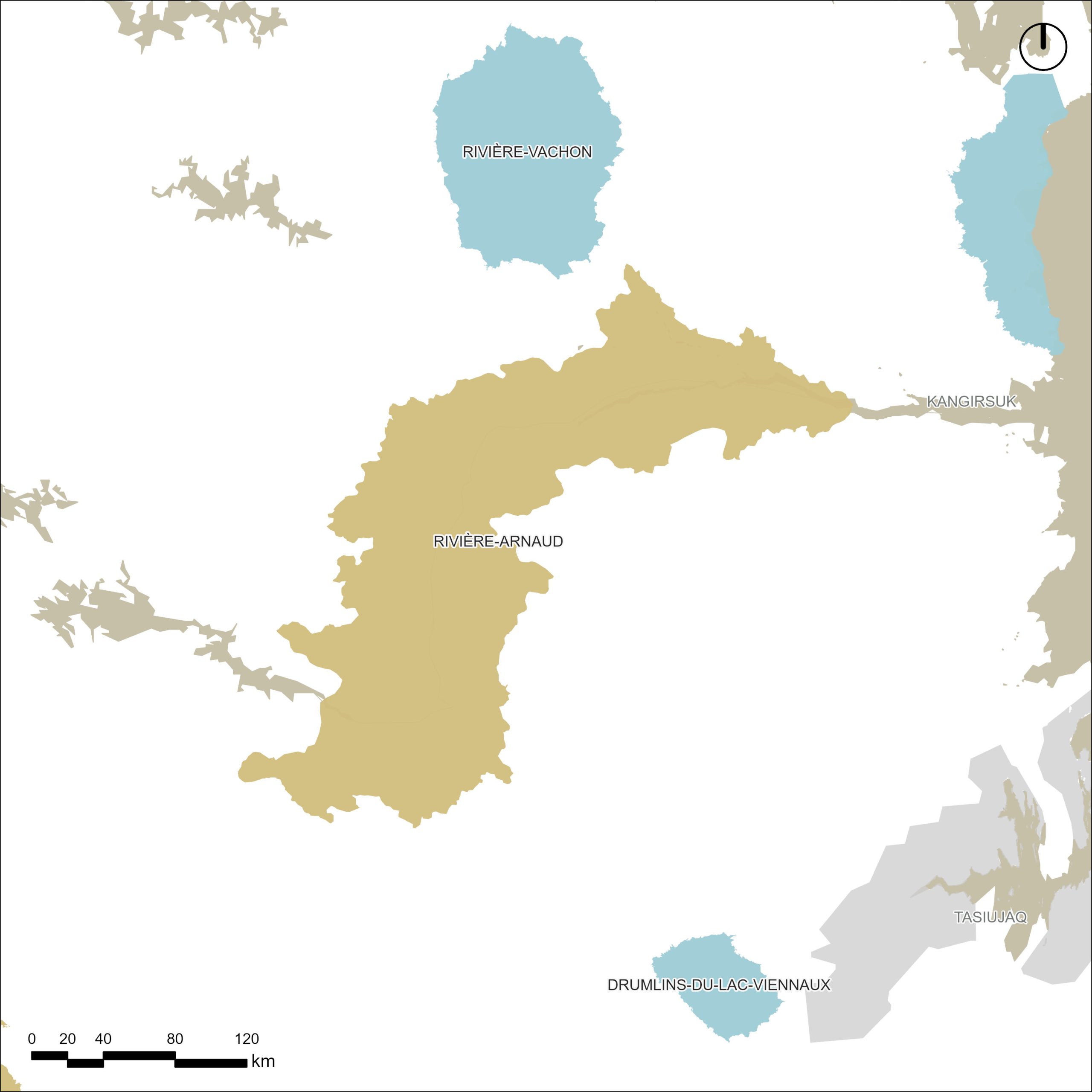
ᐊᔅᒋᔾ ᐊᑎᓯᓇᑕᐃᑲᓄᒡ ᐊᑎᐸᓂᔅᑕᑲᓄᒡ ᒐᒋ ᓇᑲᑐᐛᐃᑕᑲᓄᒡ ᐊᔅᒋᔾ ᐛᑐᑕᑲᓄᒡ | 8,942 KM² | DESIGNATED IN 2020
Land Category – JBNQA and NEQA
Categories II and III
Main conservation objectives
To protect territories identified as essential and important subsistence areas for Inuit of Nunavik, particularly for the communities of Kangirsuk and Quaqtaq, as well as a territory rich in biodiversity for this latitude.
Geological province
Minto Sub-province (Superior Province)
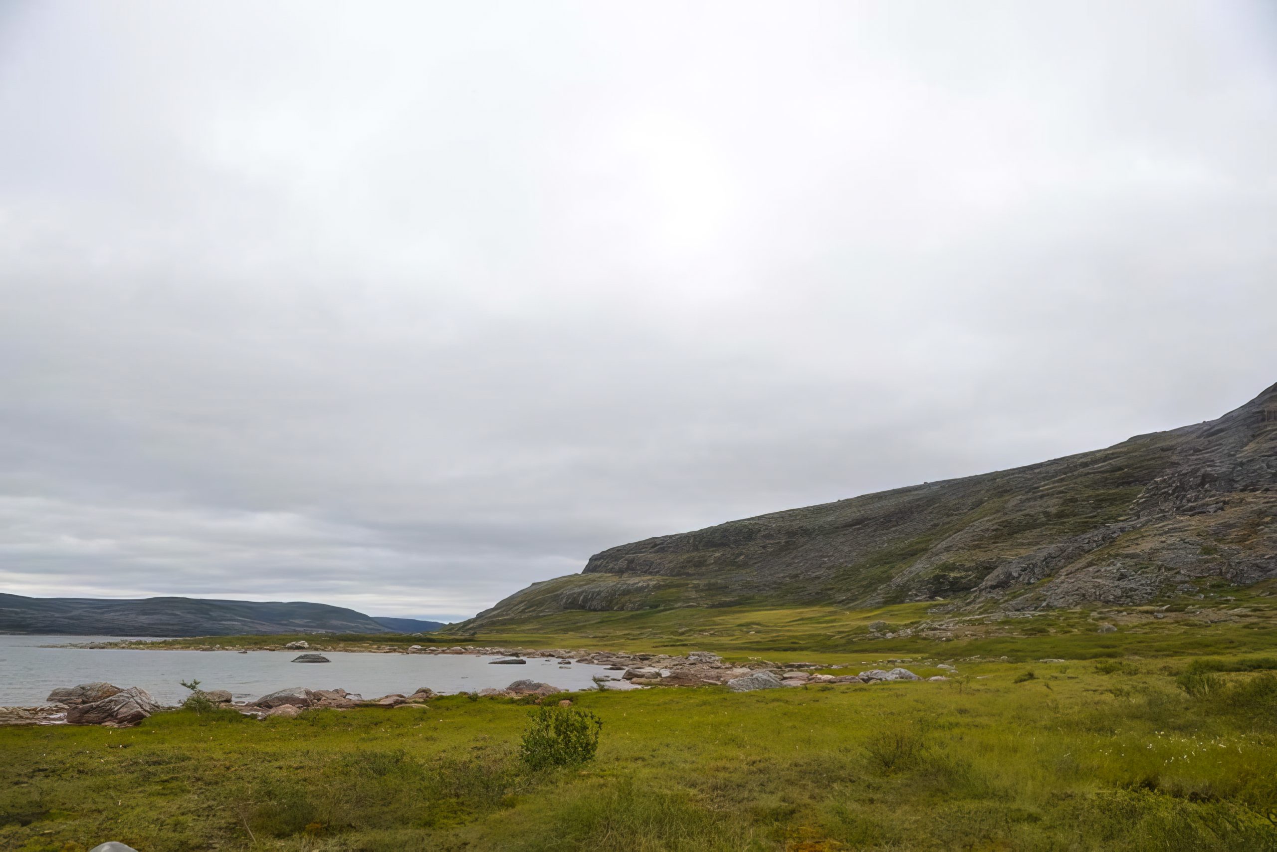
Natural regions
Vachon Plateau, Lac Lesdiguières Plateau, Lac Faribault Plateau, Lac Bacqueville Plateau
Bioclimatic domain
Shrub tundra (boundary between the High Arctic and Low Arctic Ecozones)
Wildlife
High density of Arctic char, Leaf River migratory caribou herd, Harlequin duck, Peregrine falcon
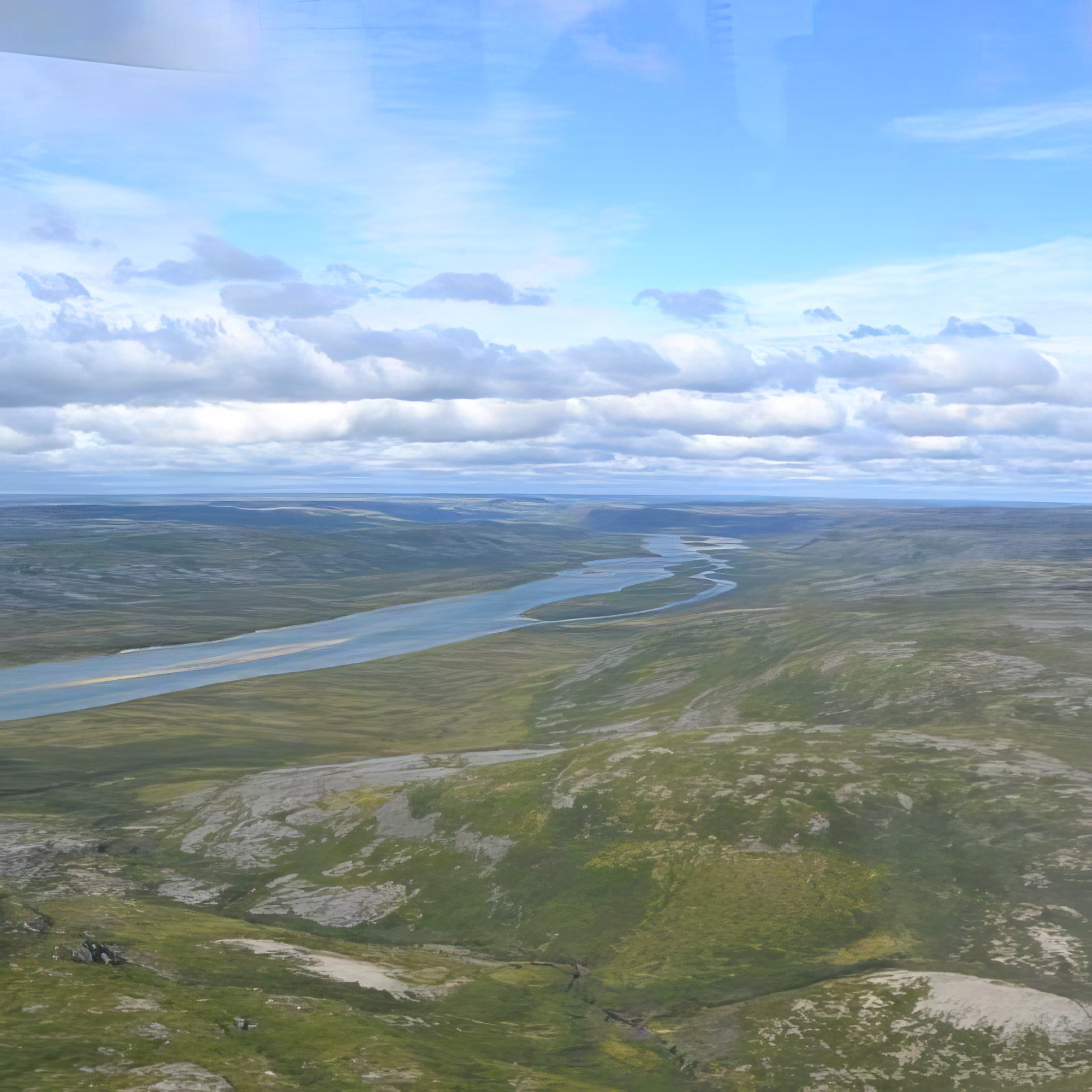
Hydrology
Reserve includes 82.6% of the main stem of the Arnaud (Payne) River, which represents 17% of its watershed
Archaeological sites
3 sites listed in the inventory of archeological sites of Quebec (Inventaire des sites archéologiques du Québec (ISAQ)).